1125mThe Summit
Mourre Nègre — bald, windy, and worth it once
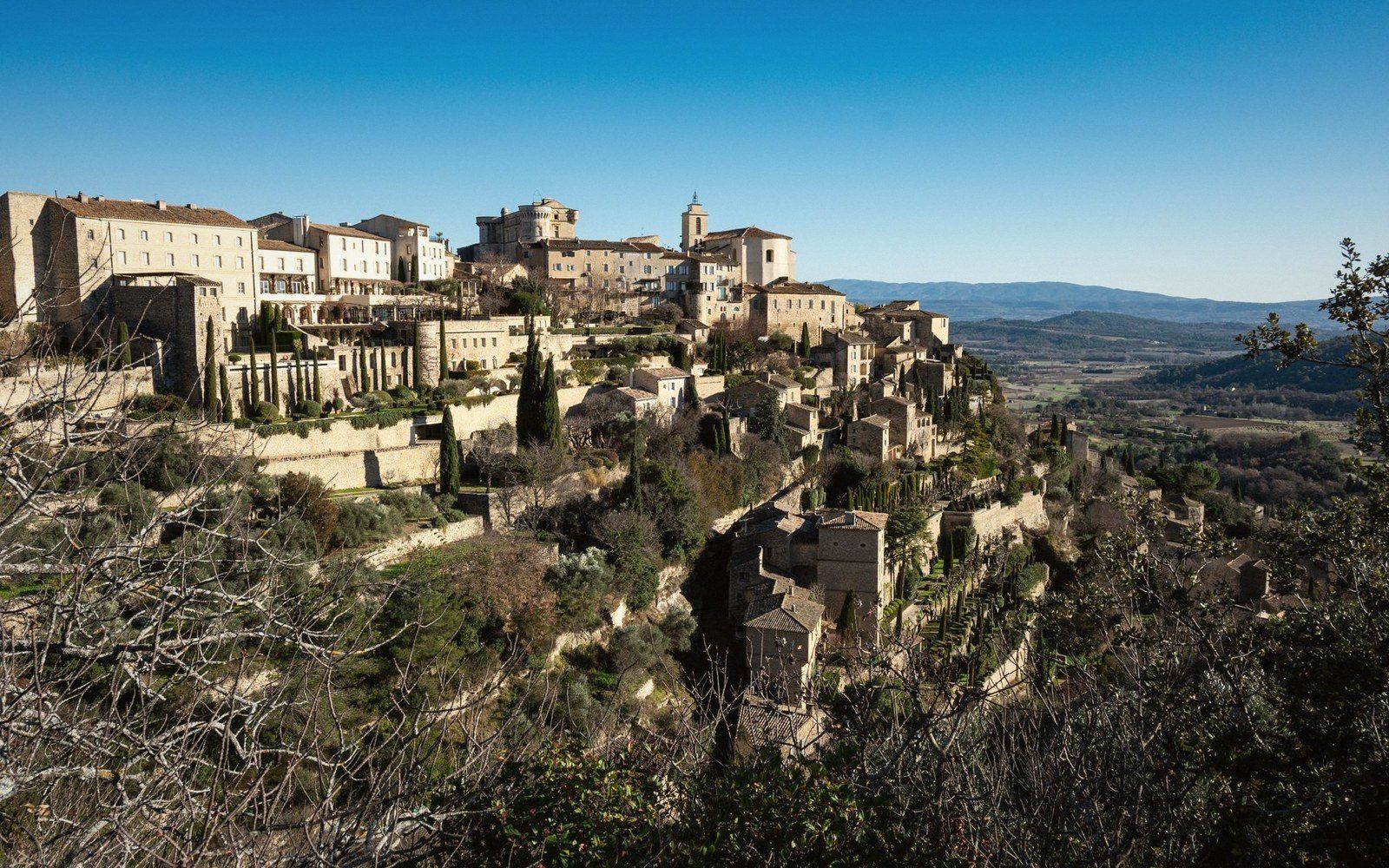
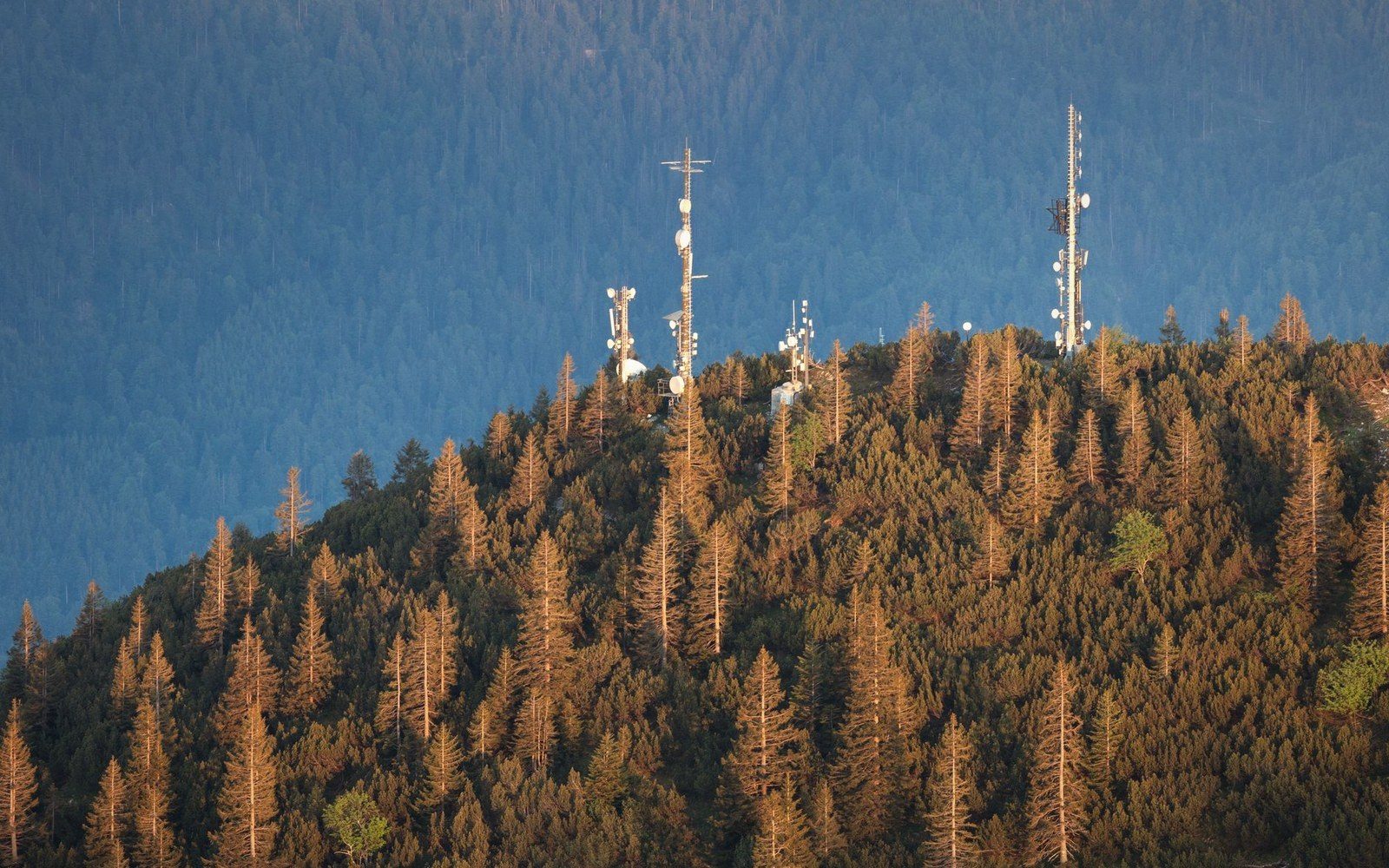
Grass, stone, a relay mast and a view that runs to the Alps on one side and the Rhône on the other. Nothing grows up here that is not low and tough, and there is no shade at all.
A standing guide, not a feed. No dates, no market days, no opening hours — those expire, and a wrong one sends you across the massif for nothing.
A thousand metres separate the top of the Grand Luberon from the melon fields near the Durance, and every one of them changes something: what will ripen, when the frost lets go, which way the wind arrives, whether anyone lives there in winter. So this guide is built as a section through the massif rather than a menu of subjects. Start at the summit and read down.
Grass, stone, a relay mast and a view that runs to the Alps on one side and the Rhône on the other. Nothing grows up here that is not low and tough, and there is no shade at all.
Atlas cedars sown in the nineteenth century onto burnt-out grazing, now the coolest ground on the massif and the only comfortable summer walking — closed on high-risk fire days.

Thin soil over limestone, frost that holds three weeks longer than it does below, sheep and lavender rather than vines. This is the band where a village either kept a shop or lost one.
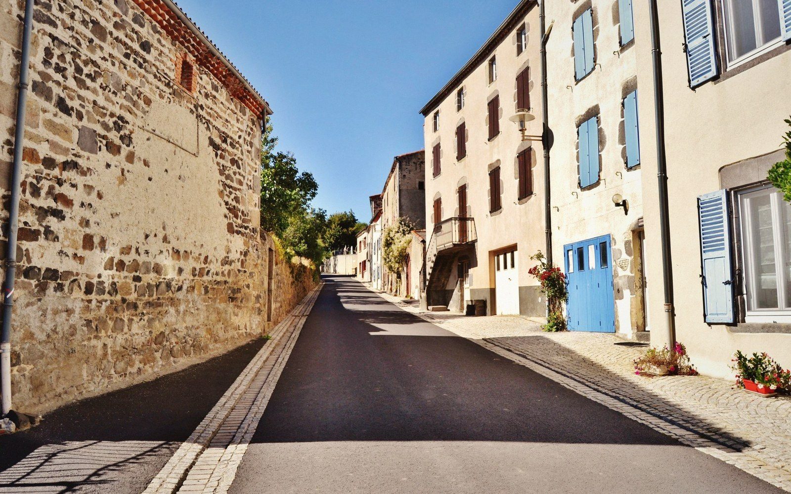
Bonnieux, Gordes, Roussillon, Ansouis: sited on one logic — a defensible spur above workable ground, water below, the whole valley in view. This is the band the photographs come from.
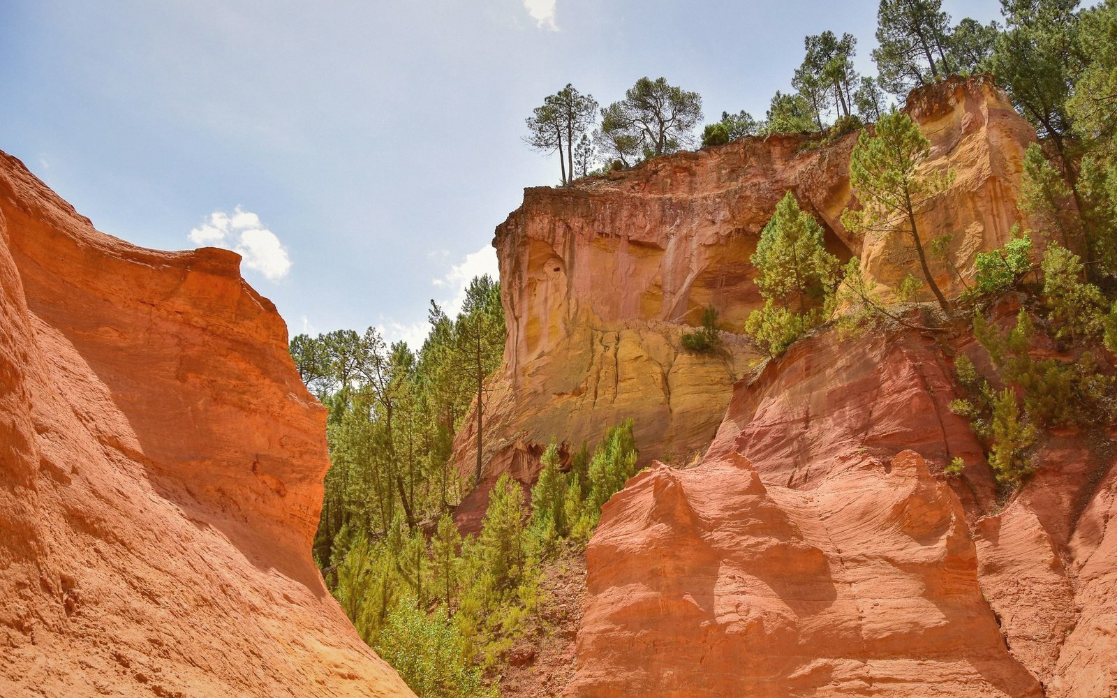
Cherries and the candied fruit made from them, the old ochre works, the greenway on the dead railway, and the one town in the valley where you can buy a spanner.
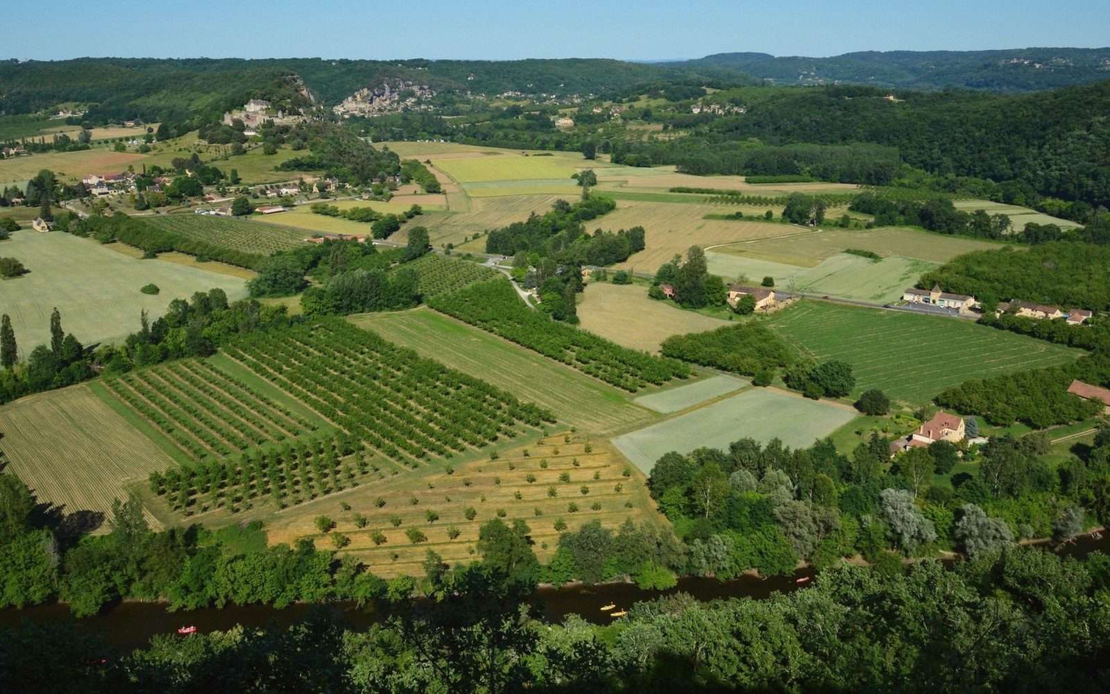
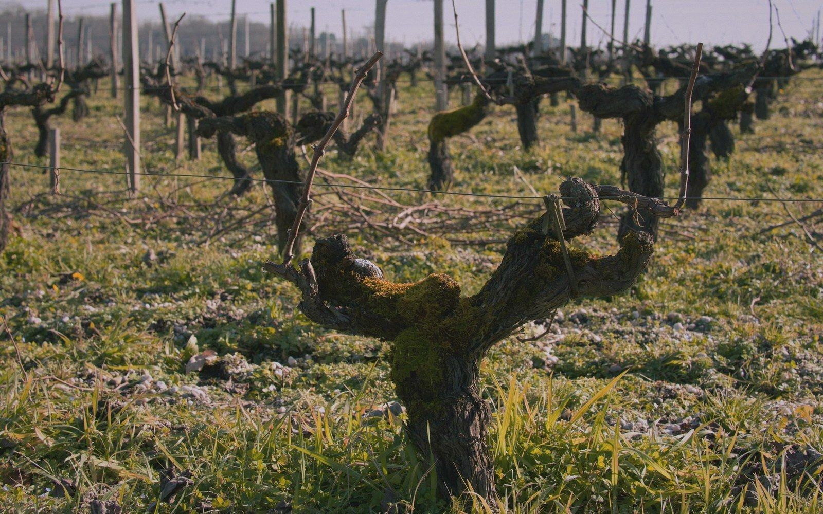
The warm side. Appellation vineyards run off the south flank toward the river, olives on the terraces above them, and the gravel light of the Durance coming back up at everything.
Alluvial ground under the west end of the massif: melons, salad, stone fruit, canals. Not picturesque and not optional — half of what is on the market tables above grew down here.
The subjects exist; they just do not decide the order. Each landing page runs from its highest piece to its lowest.
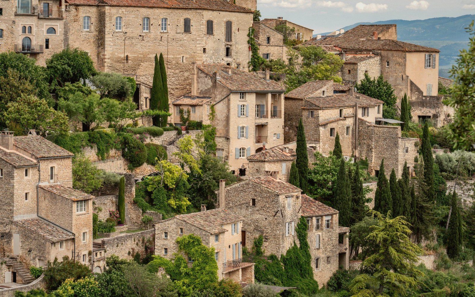
The perched villages of the Luberon — what they are, how they differ by flank and altitude, and what it is actually like to arrive.
The physical Luberon — its geology, its two halves, the altitude zones from summit to plain, and the line the whole landscape is drawn along.
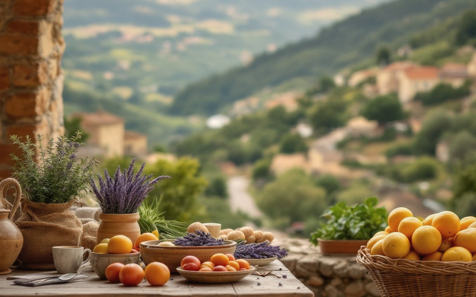
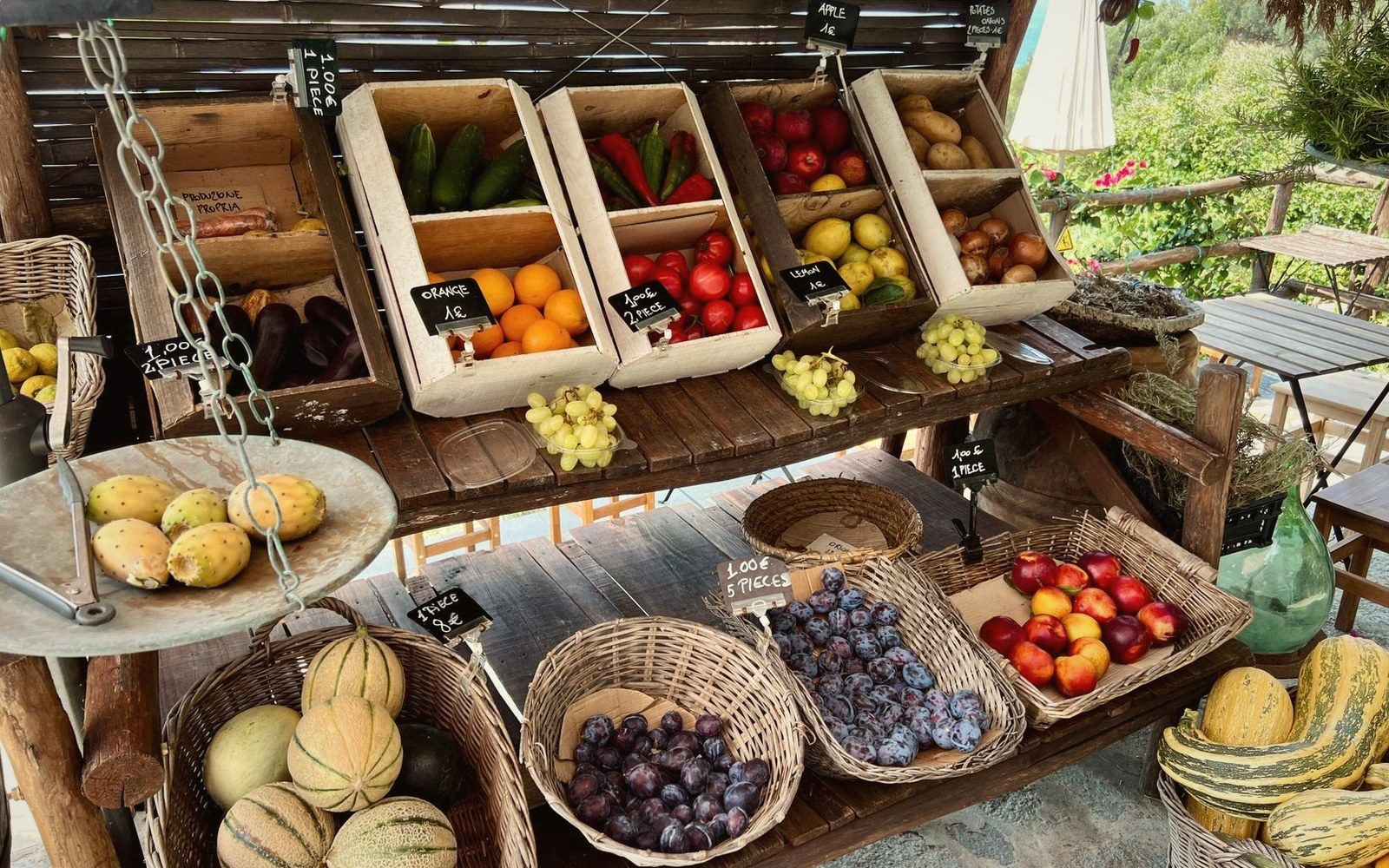
The food that comes off this specific ground — markets, producers, seasonal rhythms, and what to understand before you go.
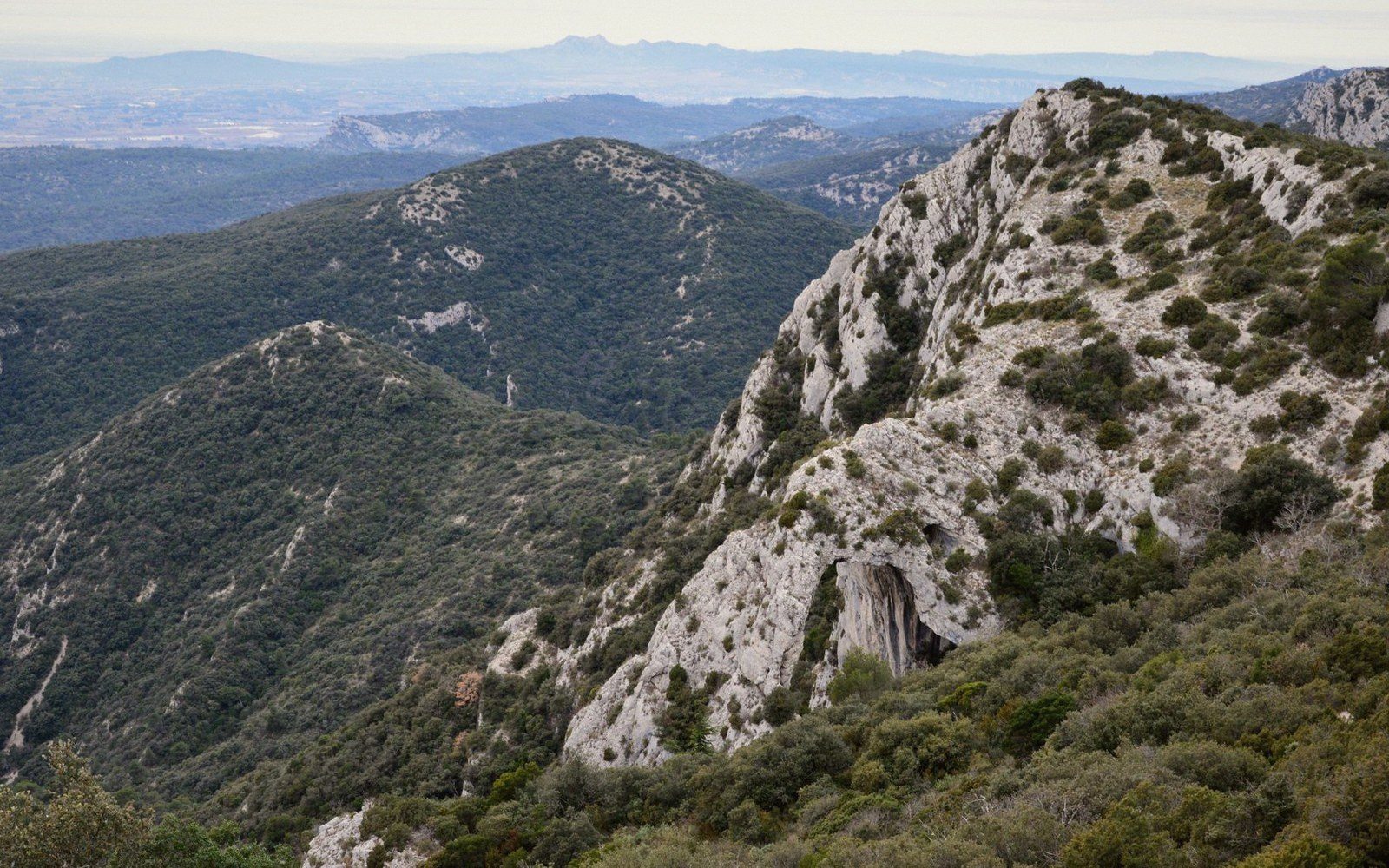
Luberon AOC and the surrounding appellations — what the altitude and the mistral do to the vines, and how to read the landscape before you read the label.
Routes that use the altitudinal logic of the massif — what you gain, what you cross, and how the landscape changes underfoot.
We drive this valley in February as well as August, and the guide is written from that.
No tourist office pays for these pages and no estate has a say in them. Nothing here can be bought into: the colophon further down this page names everyone who supports the guide, and that list has no bearing on what gets written. There are no bookings, no rankings and no accommodation listings, because the moment there were, the filing would start bending toward whoever paid.
The other half of the promise is evergreen: nothing on this site is dated, because nothing on it should expire. Where a fact would go stale — a market day, an opening hour, a price — we describe the rhythm instead of the timetable.
Producers, growers, vignerons, guides and village traders rooted in the Luberon we write about.
Luberon neighbours we list.
Doors open in the Luberon.
 TUSHY RAW delivers the unfiltered, no-preamble intensity that Luberon stone-cutters would respect.
 Icon Male proves that great chemistry, like Luberon stone, only improves with age.
 DFXtra brings the same bold contrast the ochre cliffs deliver every single morning.
 PAWG: some things resist a tidy definition until you simply see them for yourself.
 Next Door Studios opens doors to passionate encounters, just as the Luberon opens routes to breathtaking vistas.






Routes are filed at the altitude they spend their time at, not at the car park. That is the number that tells you what the day will be like.
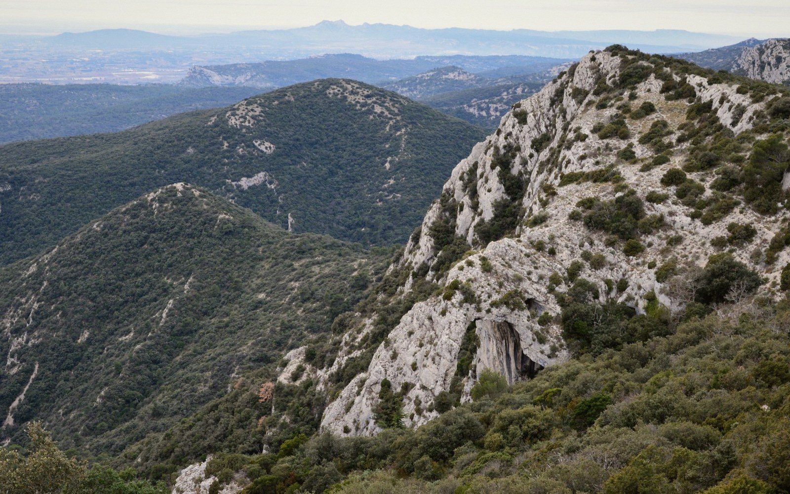
The traverse of the Petit Luberon plateau from the Cavaillon end to the Mourre Nègre side is the defining long walk of the massif — a day on the ridge with the Calavon valley below on one side and the Durance plain on the other.
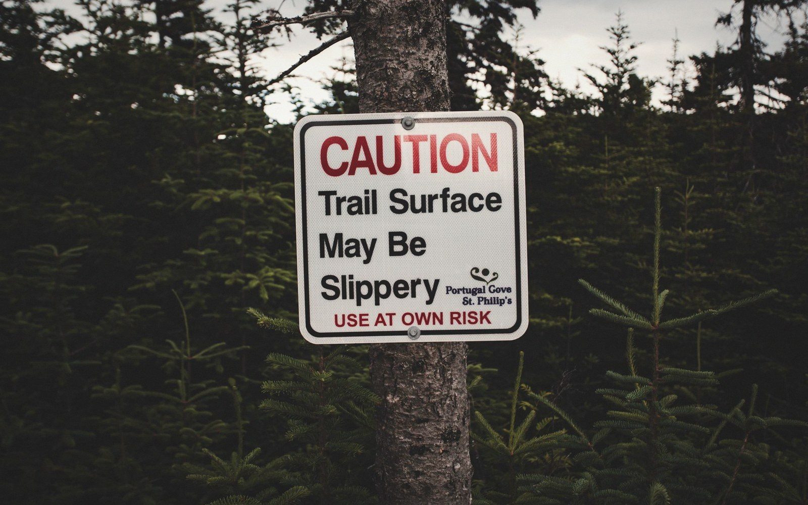
The Luberon is closed to walkers during fire-risk periods in high summer, and parts of the plateau become genuinely hostile in winter wind.
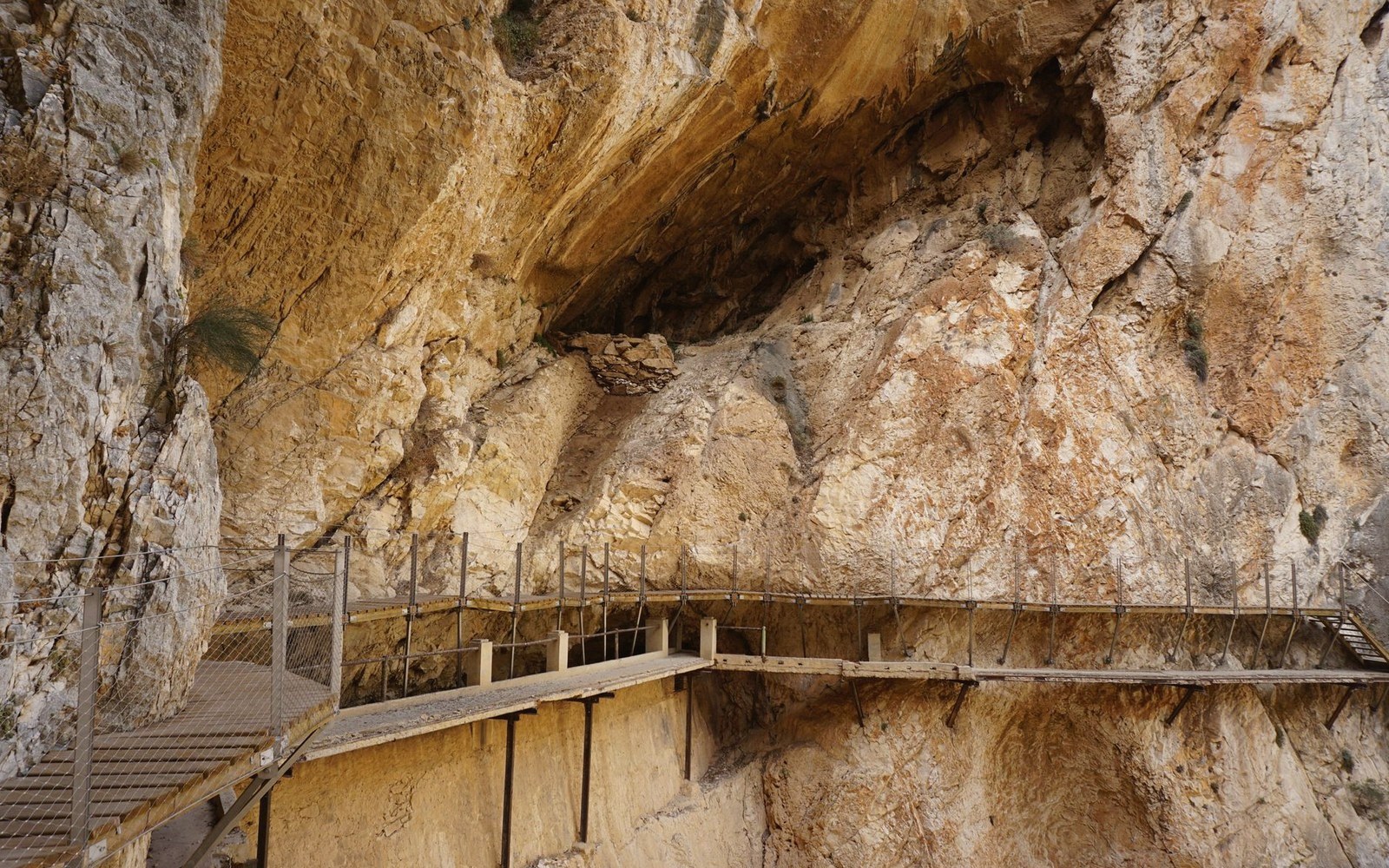
The cliff-top fortification at Buoux sits at the edge of a gorge that does not belong cleanly to any single village's territory — which is exactly why it survives intact.
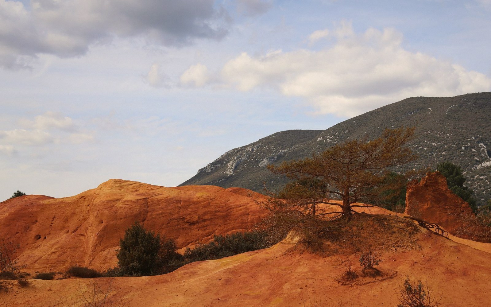
The ochre canyon circuit near Rustrel is the most visually dramatic short walk in the Luberon — saturated reds and yellows, eroded columns, a landscape that looks engineered.
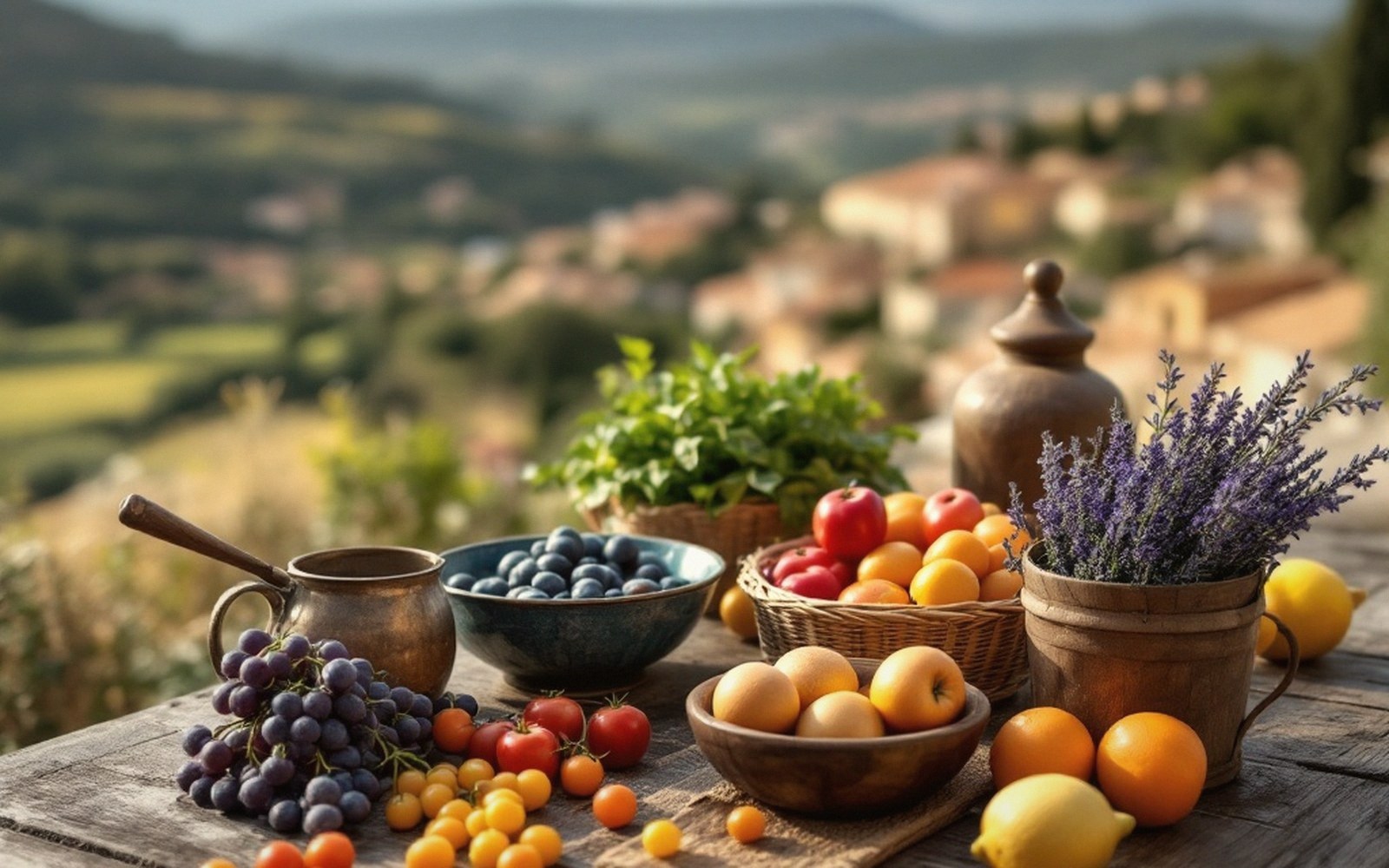
The Calavon corridor between Apt and Cavaillon follows a gentle gradient along the northern foot of the massif, making it accessible cycling on a route that connects the major market towns.
Food and wine are altitude stories here too — olives stop, vines start, and the frost decides both.
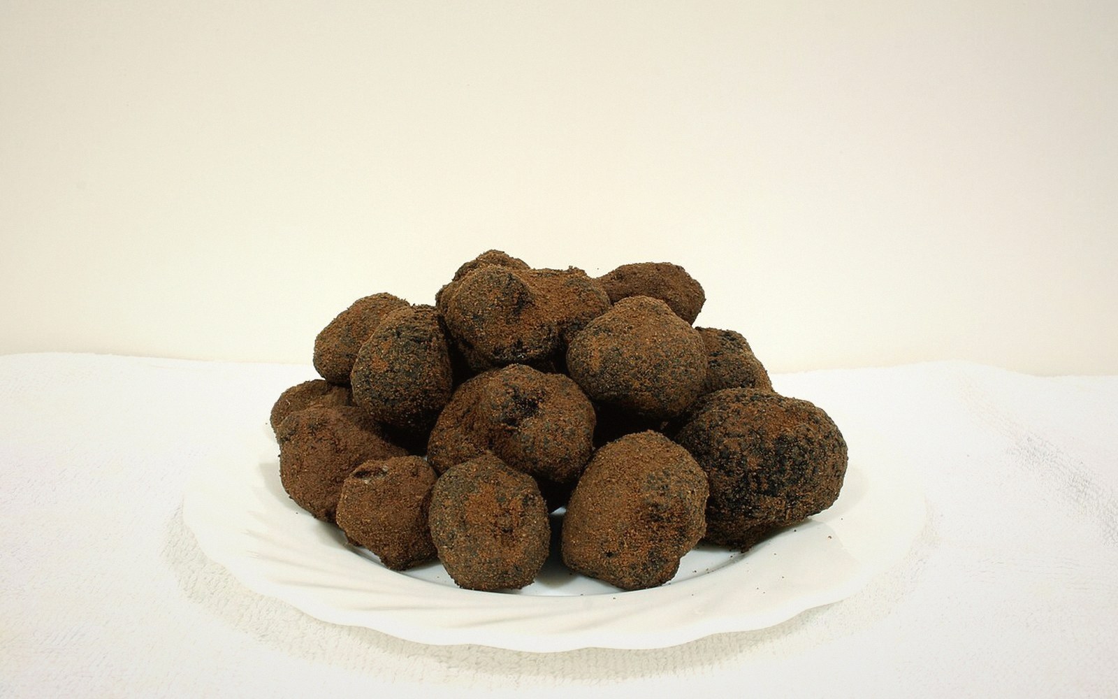
The food that comes off this specific ground — markets, producers, seasonal rhythms, and what to understand before you go.
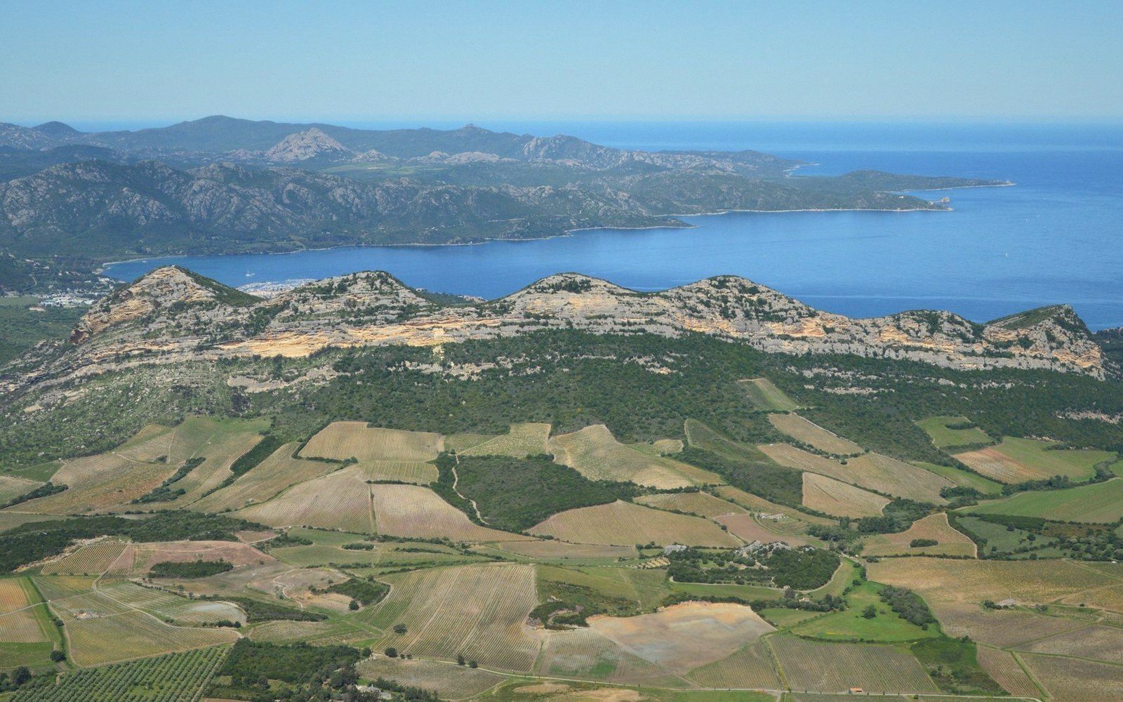
Luberon AOC and the surrounding appellations — what the altitude and the mistral do to the vines, and how to read the landscape before you read the label.
Six fixed points on the line this guide is drawn along — the Calavon floor, the perched band, and the gap at Lourmarin.
Six fixed points · hover or tap a pin
Geometry is real and projected; the pins sit at true coordinates. Heights are this guide's own filing.