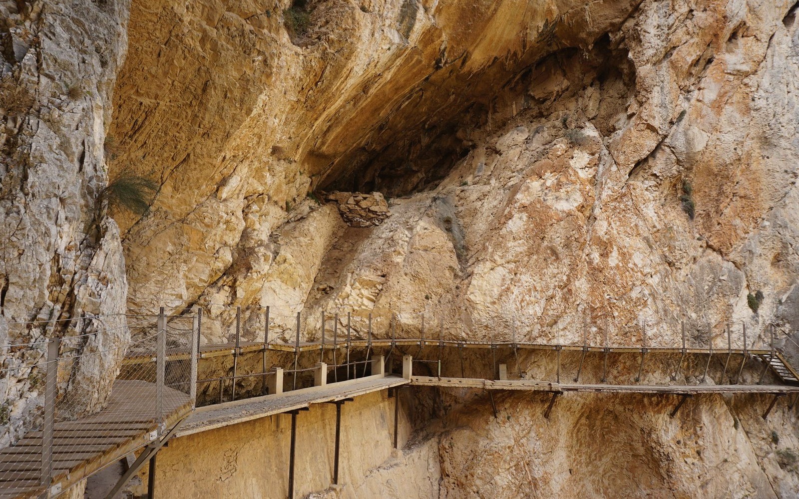
The cliff-top citadel above the Aiguebrun gorge belongs to the rock itself — which is why three centuries of abandonment have left it more legible, not less.
The Gorge That Refused to Be Assigned
Drive south from Apt on the D113 and the road narrows fast. Within a few kilometres the Calavon valley has receded and the Aiguebrun — a small, quick river that cuts a surprisingly deep groove through the southern limestone — takes over as the thing that explains the landscape. The gorge it has cut is close-sided and cool even in July, its walls striped with solution pockets and horizontal fault lines that read, from below, like a compressed geological diary. Fort de Buoux sits at the top of one of those walls, on a spur of the Petit Luberon that juts out over the void. Administratively it lies in the commune of Buoux, but it has never been folded into the identity of Buoux village, of Bonnieux, of Lourmarin, or of any other settlement with a recognisable profile and a summer car park. In every sense that matters underfoot, it belongs to the rock.
That independence of jurisdiction — not strictly administered, never absorbed into one commune's promotional identity — is part of what has allowed the fort to remain as it is: ruinous, overgrown in places, negotiable by foot on unmarked paths, free of the interpretive apparatus that would tidy it into a day-tripper attraction. It is in the Luberon regional nature park, which provides a structural frame, but within that frame the site is left largely to weather and gravity.
What the Approach Involves and What the Site Yields
The most honest approach is on foot from the hamlet of Buoux itself, along a path that follows the gorge floor before climbing steeply to gain the plateau spur. The ascent is not long — the fort stands only around 500 metres above sea level — but the final section involves hands-on scrambling up cut stone steps, some of them worn to near-smoothness, with a rope fixed to assist the steeper passages. None of this is technical; it is genuinely accessible to anyone confident on rough ground who is not troubled by exposure. The path does not announce itself clearly at the bottom. You find it by going.
What you find at the top is a site of considerable extent. The fortified spur is several hundred metres long and held three distinct occupation phases: a prehistoric settlement whose silos are cut directly into the bedrock, a medieval fortification that used the cliff edge as its primary defence, and a series of later modifications that include chapel ruins, cisterns, and the eroded remnants of houses. The silos — circular pits bored into the limestone floor — are among the most arresting things here, partly because they are so legible. Grain went in, grain came out; the people who cut them had a practical relationship with the rock that has nothing to do with military drama. The medieval fort proper was partially destroyed on royal orders in the 1660s, part of a wider dismantling of strongholds considered threats to centralised authority under Louis XIV. That moment of deliberate demolition explains the character of the ruins: these are not walls that fell by neglect but structures purposefully reduced, which gives the site its peculiar combination of robustness and irreversibility.
The views from the spur edge are plainly exceptional. North-facing, you look across the Petit Luberon plateau toward the Calavon corridor and the Vaucluse hills beyond. South, the Durance plain spreads into haze. But the view earns its place rather than being the point — you have climbed the rock and are reading the geology from inside it, not from a terrace with a menu.
Why This Is Filed Here and Not in the Villages
A guide like this one is organised partly by geography and partly by the nature of the experience on offer. Fort de Buoux is not a village to linger in, a wine domaine to visit, a market to time correctly. It is a walk with a destination that is itself a landscape — geological, historical, and largely indifferent to administrative boundaries. That is what the Massif section is for.
The fort also behaves differently from a heritage site with fixed hours and an entry booth. Access conventions and conditions can change with park authority decisions, seasonal fire risk, or trail maintenance, so any timetable printed here would be wrong within a season. The rule is to arrive on foot, dressed for uneven ground, with water. The Aiguebrun gorge is shaded and cool in the morning; the spur plateau is exposed and dry by midday. Plan accordingly, and you get a piece of the Luberon that neither the summer rental catalogues nor the tourist-board brochures quite know what to do with — which is, here, a recommendation.