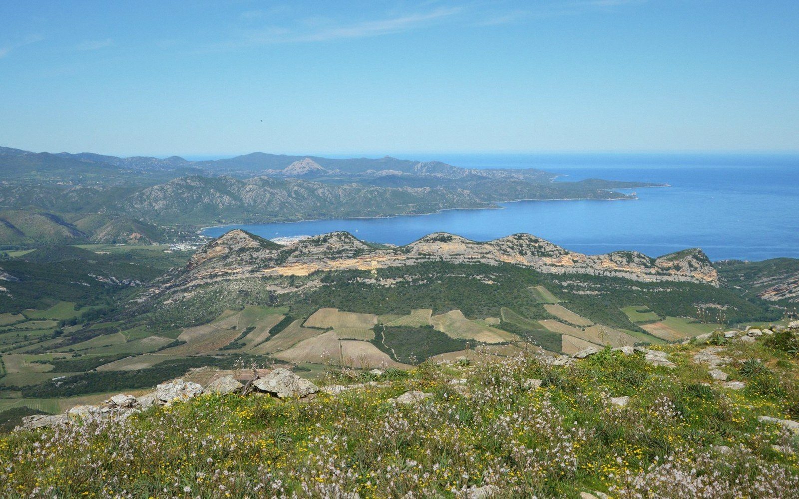
The Luberon is one massif, not two — but the gap at Lourmarin splits it into halves that feel, look and behave quite differently.
Where the Line Falls
The division is made at the Lourmarin combe — a narrow passage that cuts clean through the massif from north to south, carrying a road between the Calavon valley and the Durance plain. It is the only natural break in the ridge, which is why Lourmarin sits in the gap and has always been the busiest village in the Luberon: the crossroads position was not chosen, it was given. On a map, the line appears obvious. On the ground, you simply cross a watershed and notice that the landscape on the far side reads differently.
West of the combe is the Petit Luberon; east is the Grand Luberon. The names refer to scale, and they are accurate.
Petit Luberon: Lower, Narrower, More Broken
The Petit Luberon extends roughly from the combe westward to Cavaillon, where the massif loses itself in the Durance floodplain. It is lower — its highest points barely reach 700 metres — and the ridge is narrower and more fractured, cut by gorges and hollows that make it easier to traverse and easier to settle. The plateau on top is not bare: much of it carries cedar forest, planted in the nineteenth century on exhausted garrigue (the low, fragrant scrubland of limestone uplands), and below that, chestnut and pubescent oak. The rock is Cretaceous limestone throughout, pale and close-grained, which gives the plateau its dry, white character.
The settlement pattern on the Petit Luberon is dense. Bonnieux, Lacoste, Ménerbes and Oppède-le-Vieux all occupy its flanks — perched villages that used the height for defence and the southward slope for warmth. They are close enough together that you can see from one to another across the valley. The north face receives less sun and keeps a harder microclimate, which shapes both the vegetation and the wine.
Grand Luberon: Taller, Emptier, and Older
The Grand Luberon is a different animal. It runs east from the combe to the Manosque area, where the massif finally subsides. The rock is largely the same Cretaceous limestone, but the summit ridge is broader and more austere. Mourre Nègre, the highest point of the entire massif at 1,125 metres, sits here: treeless, wind-stripped, with no village on or near it. The Grand Luberon does not invite settlement at altitude the way the Petit does. Its flanks are steeper and less hospitable, and the villages that do exist — Cucuron, Ansouis, Grambois on the south side; Sivergues and Auribeau tucked into ravines on the north — are quieter and less visited. They did not become second-home territory in quite the same way, partly because the landscape offers fewer scenic vantage points from a moving car, partly because the distances from the A7 motorway corridor are longer.
The geology of the Grand Luberon also produces different soils on its lower flanks, and the vineyards near its eastern end sit in noticeably warmer conditions, with spring arriving earlier as you move toward the Durance plain to the south.
What the Distinction Is Not
The Grand/Petit division carries no administrative weight. It does not correspond to a departmental boundary, an AOC zone or a park management district. The Parc Naturel Régional du Luberon covers both halves as a single entity. The distinction is physical and informal — the kind of shorthand that anyone who moves regularly across the massif uses without thinking about it too carefully, because it turns out to be useful. Say the Petit Luberon and you conjure famous villages, tourist infrastructure, perched silhouettes on a pale ridge. Say the Grand and you conjure height, emptiness, a longer road. Both are right. They just describe different hills.